

From hardwoods and swamps to sandstone cliffs and agate beaches, this 450+ acre piece of land is paradise for anyone who loves the outdoors.
Project Goal
Capture photos and video of the sandstone walls, pebble beaches, and everything in between.
Client
Property Details
Just south of Freda. 457 acres of land with small hunting camp on the northernmost section. Over 2 miles of pristine Lake Superior shoreline. Four wheeler trails throughout.
List Price (at time of shoot)
$2,490,000
We were contacted by Tom Tikkanen to capture photos and video of a 450+ acre piece of land along 2.5 miles of Lake Superior shoreline. We logged on to OnX Maps to do some research and identify the best way to access this property. After looking at the area, we found an extensive trail network. Some of the trails looked to be used and open, others were grown in or blocked by swamps.
The plan was to bring our Honda Rancher 420 to get us deep into the woods, so we were confident in completing this job. Tom warned us of the challenging terrain and lack of cell service, so we brought a cable puller extra tow ropes in case we got stuck in the mud.
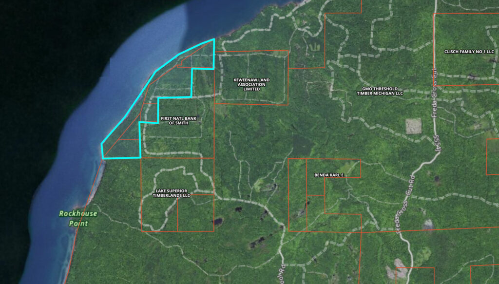
457 acres of remote, vacant land in the Upper Peninsula. Property lines approximate*
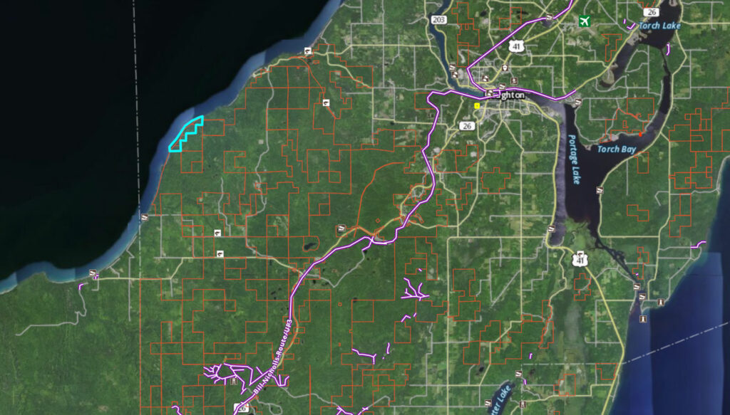
The trip from Houghton to the parking area was about 15 miles. From there, we unloaded the Honda Rancher and rode in.
Tom wanted to highlight the variety of shoreline throughout the property. Our mission was to capture the sandstone cliffs, pebble beaches, and everything in between. Using OnX, we were able to find a trail that led to the old camp located on the northernmost part of the parcel. This would allow easy access and the shoreline and let us fly south along the shore.
We packed up the drone, the four wheeler, and some lunch before heading out to Freda. We parked at an opening right off the main gravel road and decided to ride the four wheeler from there as we were unsure of the road conditions. The gravel roads leading to the camp turned out to be excellent. A few puddles and muddy spots appeared as we got closer to the camp, but nothing that the good ol’ Rancher couldn’t handle. We made it to the hunting camp and completed a few safety checks before taking flight.
The first flight went great. We get shots of the sandstone walls both north and south of the camp. As we predicted, another flight would be necessary to capture the beach part of the shore.
First flight photos: Sandstone Cliff
Second flight photos: Pebble Beach
We packed up the equipment and headed back to another trail we saw on the way in. The trail ran south along the shore, which we had spotted on the maps during our planning. We decided to take a chance and go as far as we could towards the beach area, which was in the middle of the shoreline. The condition of the trail was good, with the exception of a few water holes. We reached a swampy area and decided to walk the rest of the way.
It was 250 yards from the four wheeler to the water. As we walked towards the shore, we could hear the waves crashing into the rocks. We weren’t prepared for how awesome this beach area would be. We climbed over a pile of perfect driftwood and came upon a pristine agate beach. We made a launching pad for the drone with some flat rocks and launched. Photos and video of the rocky shoreline = complete.
After a successful shoot, we headed back to the four wheeler and had lunch in the middle of the forest. It turned out to be a perfect day. We love any excuse to be out in the woods. As an added bonus, we identified a new mushroom species. Fun fact: we’ve identified over 50 species between Houghton and Iron counties so far.