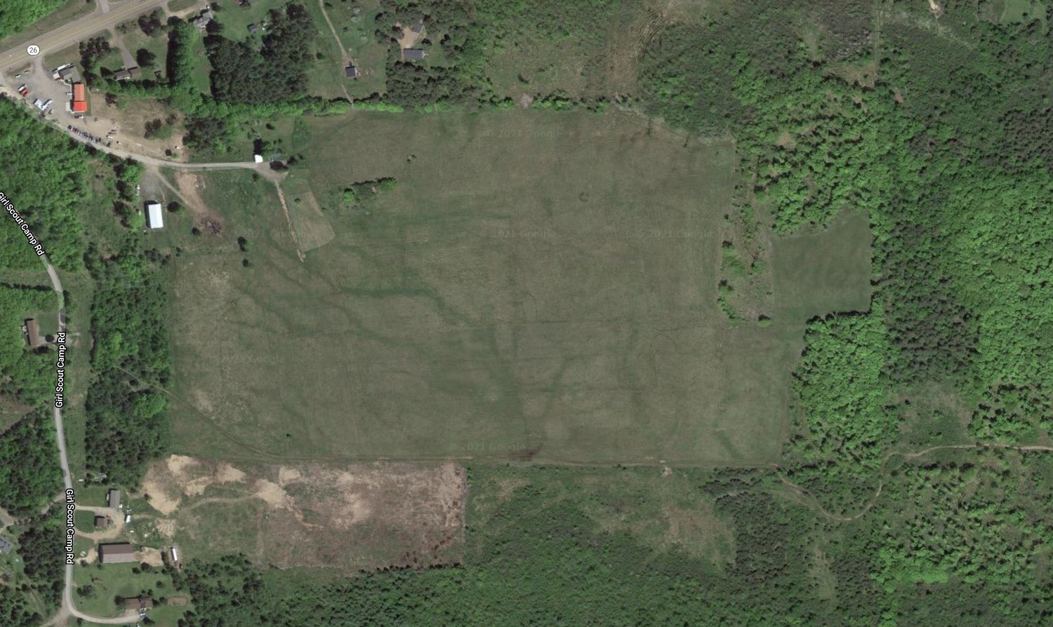
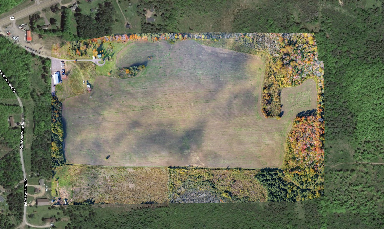
Orthomosaic maps are highly-detailed, accurate photo maps of an area. They are created by capturing overlapping photos and stitching them together with a powerful software.
During the processing, the software uses the top-down perspective, lens distortion, and camera angle data to create a geometrically-correct image.
This gives us a perfectly straight-down view of everything that was captured. The resulting maps are just like Google Earth, but way more detailed and up-to-date.
Using gps location data, the new map is overlaid onto an old satellite image of the area for a great before and after view.
BeforeAfter
Aerial map of a farm field planted with winter rye in Houghton County.
Applications
Aerial maps can add value across many industries by providing accurate data for analysis, inspections, project tracking, and other purposes.
Aerial Property Mapping
Real Estate Aerial Maps
Hunting Camp Land Maps
Agriculture Assessment
Farm Field Mapping with Drone
Construction Site Aerial Mapping
Drone Inspections
Drone Mapping
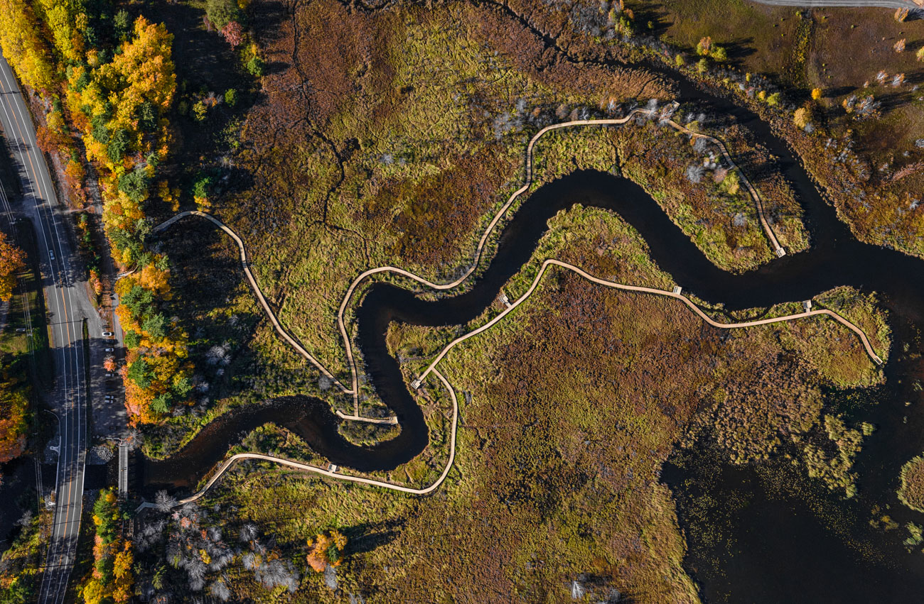
Aerial map of the new Nara Nature Trail Boardwalk designed and built by U.P. Engineers & Architects.